
Energy Corridors
Aeroquest Mapcon has extensive experience mapping energy corridors, including pipelines, throughout western Canada. These corridors often extend for long distances through wilderness areas and rugged terrain, and can also include urban areas and facility locations. Orthophotography and/or LiDAR are often captured for these projects and used for monitoring any development that may be occurring around pipeline sites and right-of ways, or any changes in the landscape and vegetation that may be encroaching on infrastructure. New corridor locations can also be determined using up to date DEM data and aerial imagery.
Project Examples
PIpeline Satellite Mapping Project
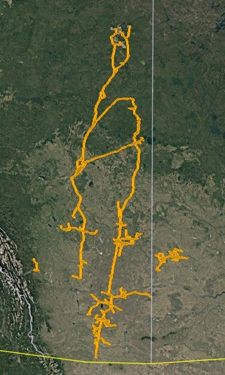
Area: 16,091km² located in Alberta and Saskatchewan
Acquisition: 1.5m 3-band colour SPOT satellite imagery for 15,871km² and 0.5m 3-band colour WorldView satellite imagery for 220km².
Deliverables: 1.5m and 0.5m rectified, mosaiced and colour balanced orthophotography.
Pipeline Orthophoto and LiDAR Project
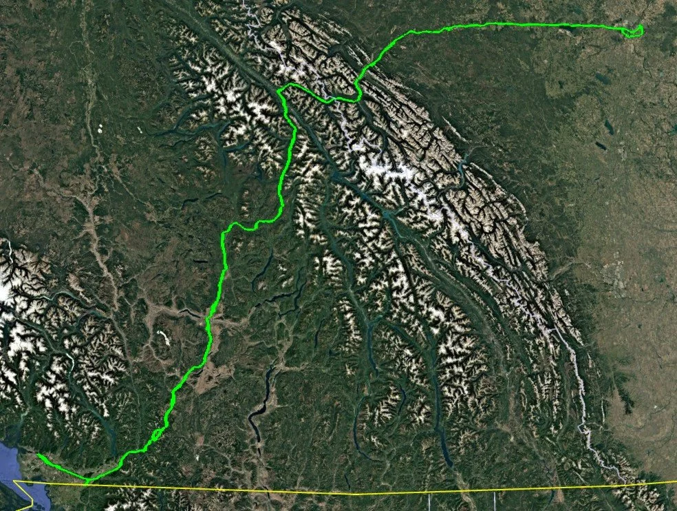
Areas: 1,150 linear km from the southwestern coast of BC to Edmonton Alberta. The terrain varies from dense urban to rugged mountain wilderness and forested areas. The corridor width was approximately 500m for an area of 728km² including additional routes.
Acquisition: XXppm² LiDAR acquisition and 15cm aerial photography captured at a minimum 36 degree sun angle to reduce shadows.
Deliverables: LiDAR classified to ground and non-ground, 15cm radiometrically balanced and seamlessly mosaicked orthophotography.
Electrical Hydro Orthophoto Project
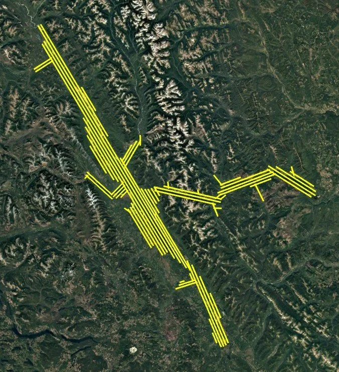
Area: The project area is approximately 3,885km² and located in a mountainous region containing lakes and identified as a study area for an electrical utility.
Acquisition: 12cm stereo aerial photography was taken with a large format aerial camera and existing LiDAR
Deliverables: The aerial imagery underwent aerial triangulation and rectification using existing bare earth LiDAR as the DEM. Final 12cm orthophotography was radiometrically balanced and seamlessly mosaicked.