
LiDAR Project Samples
Aeroquest Mapcon was contracted to provide 5 cm 4-band colour orthophotography and 20 ppm² LiDAR for an area covering 147 km². Horizontal data accuracy was 12.5 cm RMSE (x & y) and the vertical accuracy of the LiDAR was 10 cm (RMSE) in non-vegetated areas and 30 cm (RMSE) in vegetated areas.

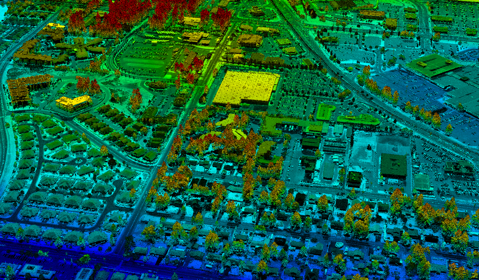
Aeroquest Mapcon was contacted to provide 10 cm colour orthophotography and LiDAR to create an elevation model, and 0.5 m contours. The LiDAR was delivered as classified (bare earth, water, vegetation, buildings) and unclassified data.