
Airborne Geophysical Surveys
Aeroquest Mapcon, through our sister company, Terraquest, can provide fixed wing and helicopter airborne geophysical surveys. Services include airborne magnetic surveys, airborne radiometric surveys, airborne gravity surveys, and airborne electromagnetic surveys in the exploration for base and precious metals, kimberlites, hydrocarbons, uranium, and groundwater.

Airborne Geophysical Surveys include the following:
Resolution Magnetic
Airborne magnetic surveying is a geophysical method used to image anomalies in the earth's magnetic field caused by variations in the magnetization of the crust. These variations may be indicative of structural or lithological contrasts in the subsurface.
Magnetic data can be collected on the earth's surface, from the air, at sea, or in a borehole. This information can be used by exploration geophysicists in their search for mineral-bearing ore bodies or hydrocarbon-bearing sedimentary structures, or by archaeologists searching for buried artifacts.
Of the two types of magnetometers, vector and scalar, Terraquest excels in scalar magnetics which determines the total strength of a magnetic field.
Moreover, the company combines these scalar devices in arrays comprising two or three magnetometers to generate magnetic gradiometer data (either horizontal or vertical).
Horizontal Gradiometer
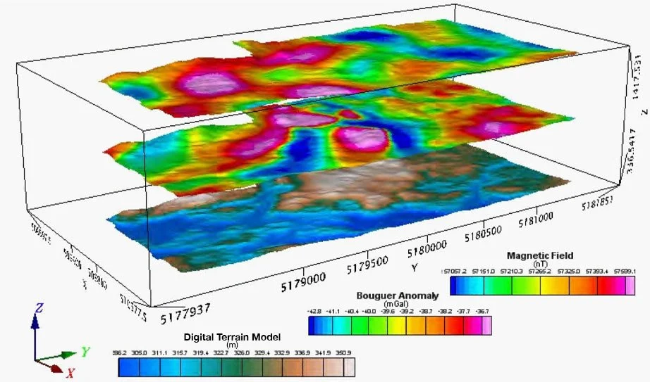
Magnetic gradiometer surveys have long been an application for mineral exploration surveys, particularly for near surface targets. The main advantage of Terraquest’s Horizon™ airborne horizontal gradiometer survey is that it paves the way for enhanced resolution through improved gridding and contouring (gives data both on and between the lines; more information in general). Explorers can also benefit from higher precision in locating small anomalies between flight lines and also in locating faults, dykes, and contacts more accurately.
Airborne horizontal gradient surveys are best utilized where targets are shallow and where high resolution and drill targeting ability are required. Natural application fits include kimberlite exploration.

Matrix VLF-EM
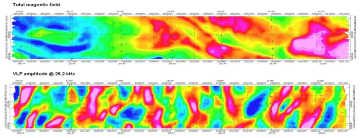
VLF-EM is a geophysical prospecting method that was a mainstay of exploration during the 1970’s through 1990’s, however it still has an important role to play in exploration, particularly in diamond and gold exploration as shown in the implementation of Terraquest’s Matrix™ airborne VLF surveys.
The basic premise of Terraquest’s Matrix™ airborne VLF-EM survey is the use of ultra-low frequency electromagnetic waves emanating from ground-based navigation stations. These waves penetrate the near surface of the ground, making them an ideal tool for shallow exploration.
Terraquest offers surveys based on the advanced Matrix™ Digital VLF-EM frequency system which is a modern, light weight, digital, passive system that utilizes continent-wide communication VLF radio signals as a power source to energize ground conductors. Signals are received on three axis by 3 orthogonal coils and recorded independently from up to four VLF stations.
Max Gamma Radiometric
In earth science exploration, one of the parameters of interest is natural radioactivity and mapping of this natural radioactivity.
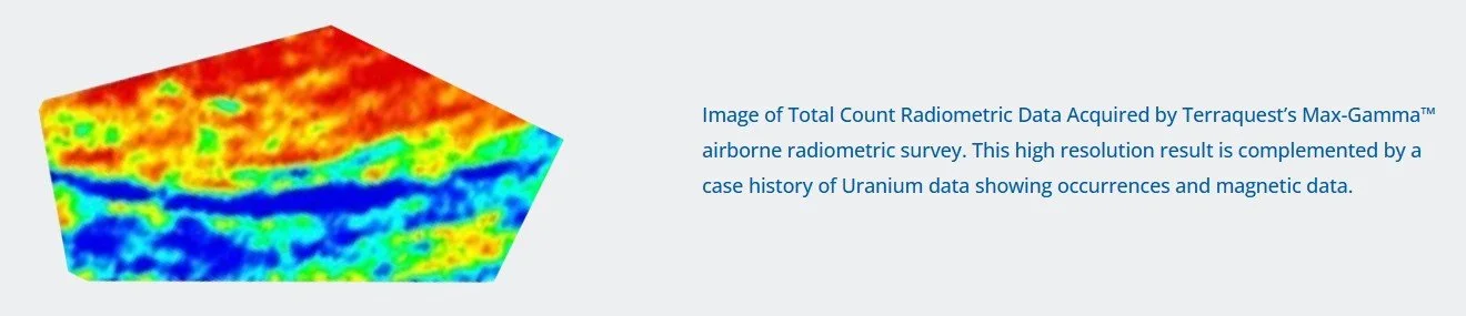
Ambient radioactivity is commonly associated with three isotopes, including potassium, uranium, and thorium. It is the mapping of these for comparison and ratioing that is the objective of an airborne radiometric survey.
Terraquest’s clients typically utilize the company’s airborne radiometric survey capabilities to achieve a number of goals – both for direct uranium exploration but also for mapping of geology / lithology. Terraquest focuses on:
Detecting the presence of uranium.
Locating other mineral deposits using U, Th and K concentration maps.
Mapping ratios for U, Th. and K that reflect lithologic variations.
Applying airborne radiometric surveys for reconnaissance exploration purposes.
Equilibrium Gravity
Gravity surveying is the process of measuring the local gravitational field of the Earth.
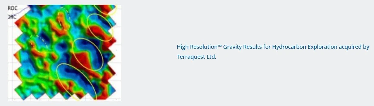
Terraquest’s Equilibrium™ airborne gravity survey uses these changes to measure effects of gravitational variations corresponding to representative geologic bodies in the subsurface. An airborne gravity survey typically provides information on the depth, size, and shapes of the subsurface anomalies.
A gravimeter is used for measurement with a traditional gravimeter employing a high sensitivity spring and mass system to detect changes in ground mass which are indicated by downward or upward weight on the gravimeter. A new innovation is to use lasers to increase accuracy even more; however, traditional gravity meters have a key role to play in airborne geophysical surveys, particularly for base metals or hydrocarbon exploration.
For more information about Terraquest’s airborne geophysical surveys, visit their website here